One of the perks of moving is that our new house is only about a ten minute walk from the Cotswold Way, so this leg would actually be walking home (and rather splendidly the next leg will start from my front door!)
Last Wednesday I set out at about half seven to walk up to the main road, where I would catch the number 46 bus to the outskirts of Cheltenham. Rendezvousing with Chris, my walking buddy for the day in a pub car park (strangely prophetic of the day ahead) we drove up to my finish point from the last leg. Sadly, roadworks meant the road up the hill was closed so we had to park much lower than we wanted to. This added an extra couple of ks to our day, but seeing as it wasn't going to be too strenuous we grinned and bore it.
This particular stretch, from Leckhampton to the outskirts of Cranham, was fairly wooded, which in light of the hot sunshine was well received by us both.

Skirting around Leckhampton Hill we picked up where I had previously left off and wended our way towards Crickley Hill.

Looking West from Crickley Hill
We availed ourselves of the ice cream purchasing facilities at the small but interesting visitor centre before pressing on. Shortly we came to the most unpleasant bit of the Cotswold Way so far.

The A417 runs below the trees before heading up and over the horizon.
The A417 has to be crossed, and then you walk up the hill alongside the nose-to-tail traffic for a few hundred metres before you can peel off in to the fields again. The crossing is a real life-in-your-hands moment. Yuck. Nestled in the elbow of this exceptionally busy junction is the Air Balloon pub. We were early so it was shut, but frankly I cannot understand why you would want to stop here.

Looking back at Crickley Hill

Most Pleasant woodland.
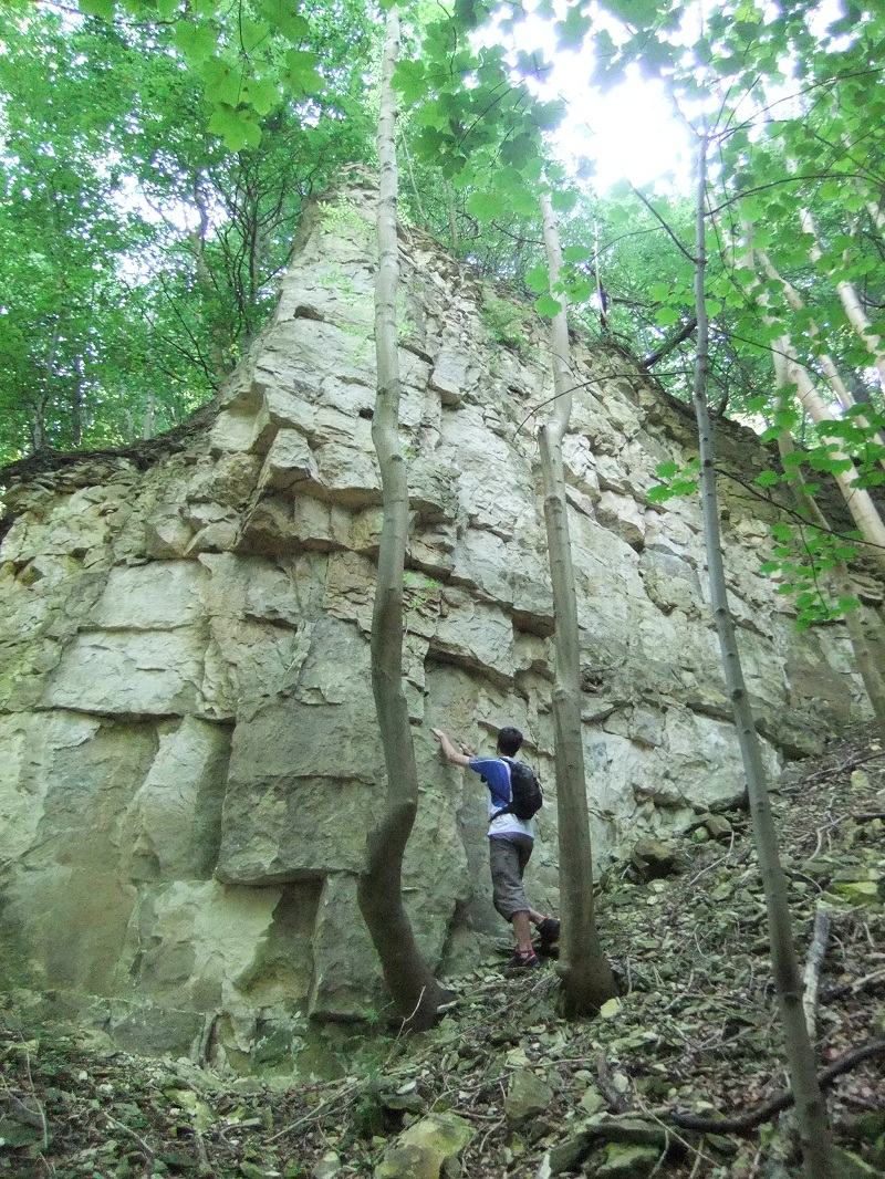
Below Birdlip we spied some crags tucked away in the woods. Always on the lookout for new climbing spots Chris peeled off left for a look. Sadly our hopes were dashed. We realised that what had on first glance looked like an exciting little spot to while away a few hours was in fact a chossy death-trap! The stone was flaky and hollow sounding with scarcely anywhere to put pro. If you did manage to get off the ground you ran the very real risk of pulling down tonnes of loosely stacked rock on to you and you foolhardy belayer.
Optimism
We gave it a miss and headed on. To console ourselves we headed up to the village of Birdlip where by happy chance we found the Royal George. As it was only just 11 (ahem) we had the place pretty much to ourselves. We ordered some beer, and a couple of ciabattas. We were momentarily perplexed when the barmaid asked Chris how he would like his chicken cooked. He decided on "Thoroughly".

After we had rested and aired our feet for a bit we decided we must press on. We dropped back down the hill and picked up the well waymarked trail again.

Easygoing
Catching lovely views of our route so far we strolled through the woods on our way towards Coopers Hill. If you have ever seen footage of the charming English custom of cheese rolling, this is where it happens. It is a very steep bit of hill, and the Cotswold Way passes below it and then, after a painfully steep climb, the top of it.


Looking down the cheese rolling slope.
A couple of notes here. As you come out of the woods below Coopers Hill, the Harveys Cotswold Way map shows a cafe. Whilst we saw the building and the signs, it certainly didn't appear to in use any more, so don't count on it. A further point is that the waymarking post at the top of the hill points towards two fairly close paths. We took the left hand one which as it turned out was the wrong one. Go right! After a brief and not unpleasant detour we were soon on the right road, and headed on through the woods towards the A46, and the Royal William.
Further refreshment was taken here, before we dropped back down to my place after a very relaxing twelve mile stroll along the edge of the Cotswolds.
The next leg will start taking me in to unfamiliar territory. Hopefully not such a long break between updates!
Chris, I hope you don't mind but I nabbed a couple of your Instagram pics..?
Wow good quality picture Polystyrene Sheets
ReplyDeleteThe Everest Base Camp Trek is really highlighted part of in the world. those who are traveling to organize and selling these activities all over in the world. Because very easy to get access to for that trip, just get traveler and get little experienced about the trip after that self-organize and use for Nepali local guide, permit, transport and porter. therefore tour leader leading Everest Base Camp trek many types of Custom Itinerary and Budget trip.Those Who has enough budget they can make luxury and take full board packages services but the problem for the trip budget and they adjust only self and solo trip to Everest Base Camp.
ReplyDeleteI would like to high suggestion to go Everest Base Camp Trek lukla to kathmandu and kathmandu to lukla domestic flight and hire guide and porter that would be perfect, Because more safe and secure as the whole trip Can Make Success. many ways departure for that trip as 7 days to 10 days and 12 days to 14 days Everest Base Camp Trek in Nepal.
There square measure few treks that mix such a large amount of completely different landscapes and produce
ReplyDeleteyou therefore near the bottom of seven,000 and 8,000 meter peaks in a very such a brief amount of your time
because the Annapurna Base
Camp Trek.The Annapurna Base Camp trek is one in all the foremost fashionable treks within the Annapurna
region. The path goes aboard terraced rice paddies, lush shrub forests and high altitude landscapes with the
Annapurna aim read most of the days.The setting of Annapurna Base Camp at 4130 m is exclusive and improbably
spectacular, set amidst the majestic peaks of Annapurna I (8091 m), Annapurna South (7219 m), Machapuchhre
(6993 m) and Hiunchuli (6441 m).The Annapurna Base Camp Trek takes seven to twelve days, betting on your itinerary and length of
walking days. The itinerary bestowed here takes twelve days, ranging from Nayapul (a one 1/2 hour drive from
Pokhara) and going north up to Ghorepani and therefore the illustrious viewpoint at Poon Hill. From
Ghorepani you go eastward to Chomrong so north once more coming into the Modi Kola depression that leads up
to the bottom Camp.Many people trek the circuit Nayapul-Ghorepani-Ghandruk-Nayapul, that is incredibly
profitable in itself. This trek will simply be through with kids likewise.You can come via Jhinu Danda and
provides your tired muscles a well merited rest within the pleasant hot springs. Upon your come it's worth
visiting one in all the Gurung villages of Ghandruk or Landruk.The lodges within the Annapurna
Trekking Region square measure well equipped with intensive menus starting from the everyday Nepali dahl
tub (rice with lentils) to pizza pie and chau mien. Hot showers square measure without delay on the market
likewise. If you are reaching to trek within the winter months please talk over with a agency to verify that
lodges are open.The Annapurna trekking region is definitely accessible with completely different trailheads
beginning simply associate hour or 2 aloof from Pokhara.Between mountain range building and Machapucchre
base Camp there's a risk of avalanches therefore certify you have got the most recent data on path
conditions before setting off or rent a knowledgeable guide.The Annapurna Base Camp Trek
will simply be done severally. it's attainable to try and do this trek all told seasons, however, within the
winter the bottom Camp will typically be closed owing to the snow level. In spring time the massive shrub
forests square measure fully bloom which provides the trek an additional attractiveness.
Amazing blog. This post is looking interesting. Thanks for sharing this with us veritasreviewblog
ReplyDelete